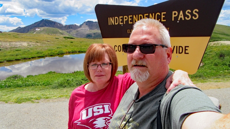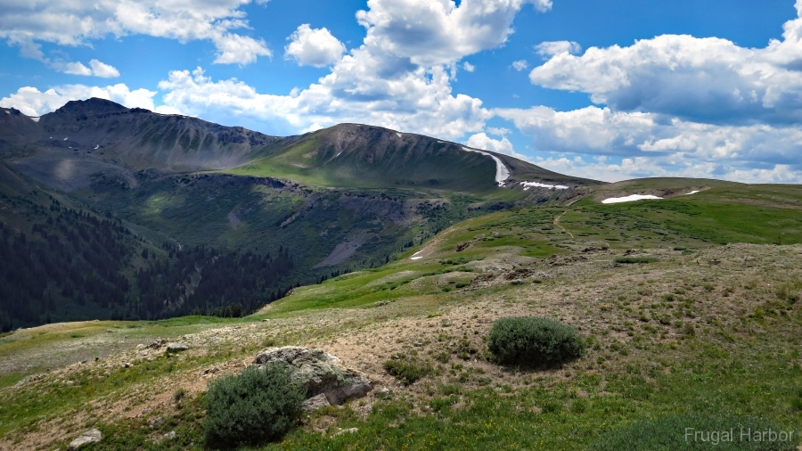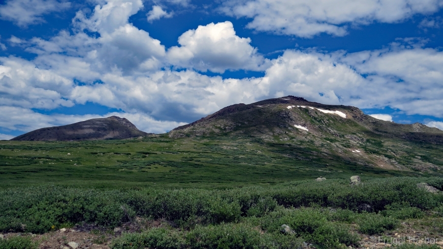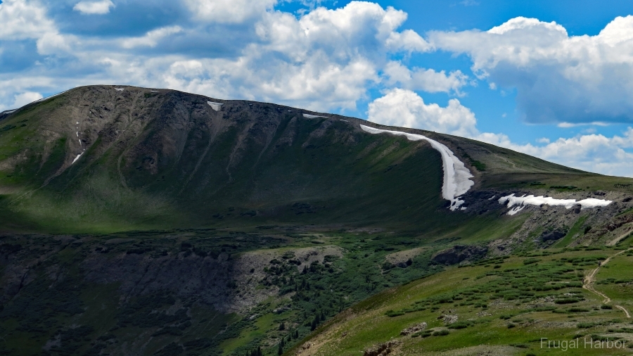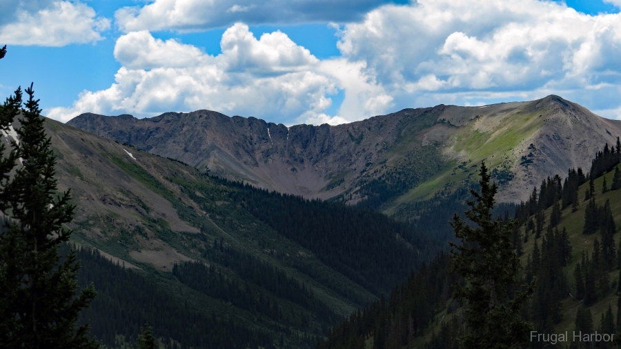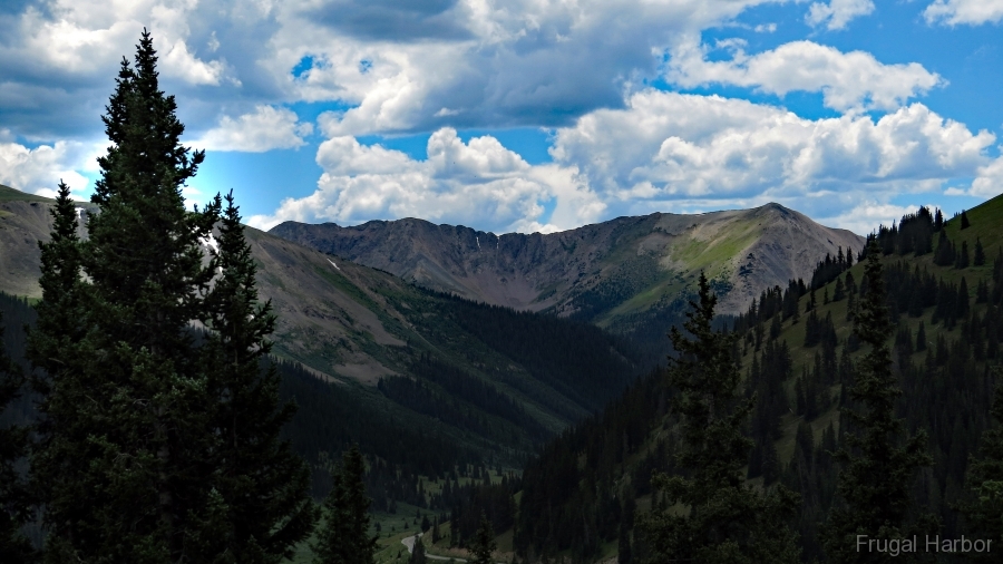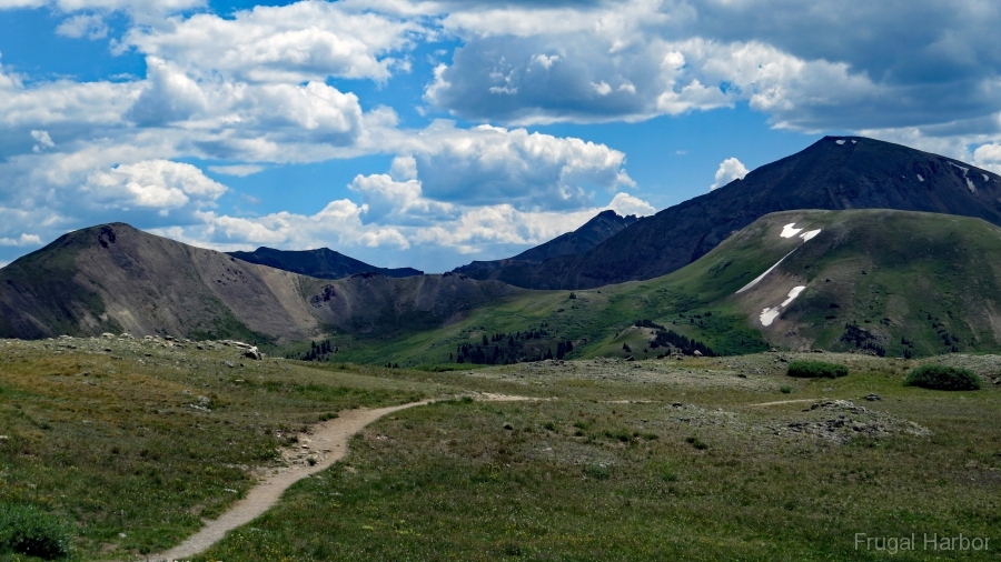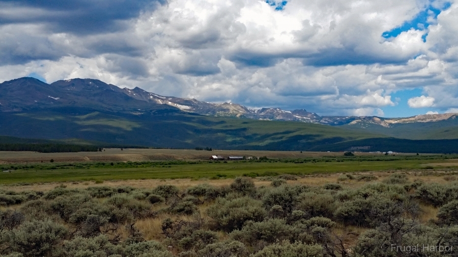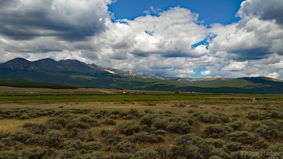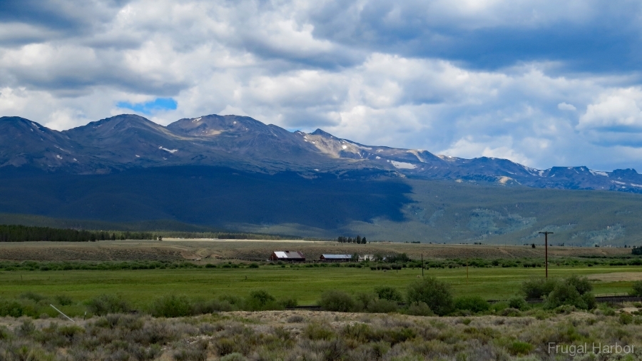
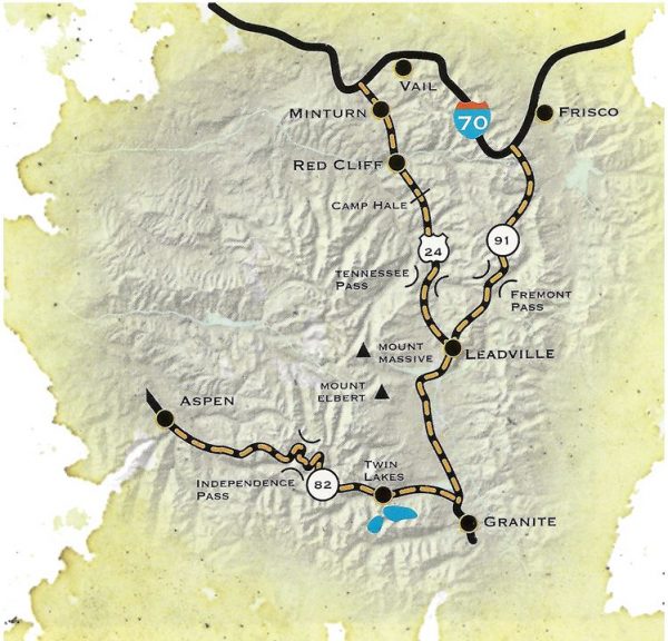
Independence Pass
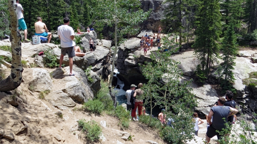
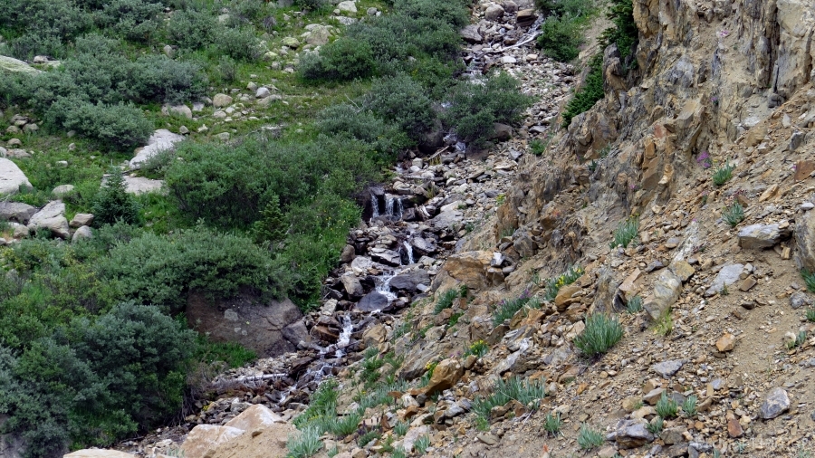
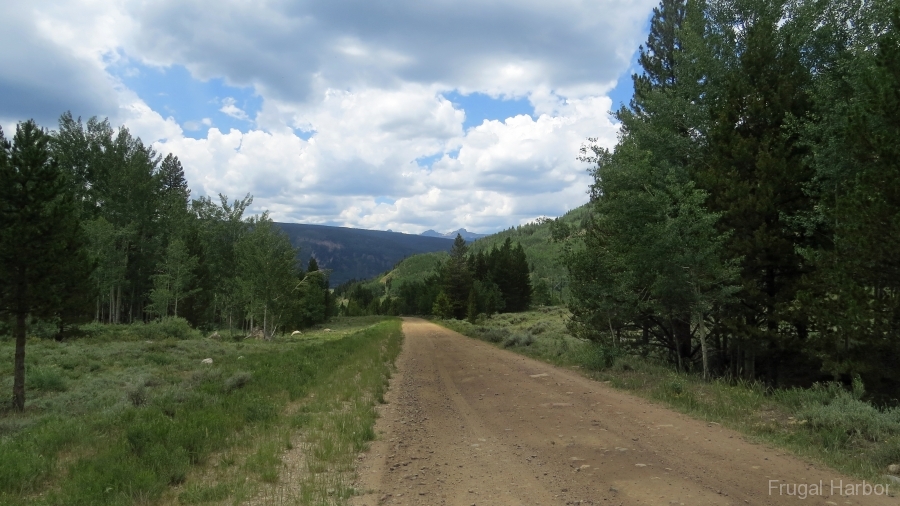
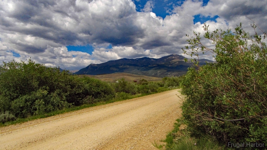
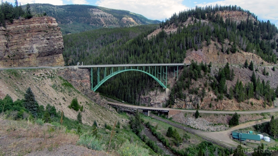
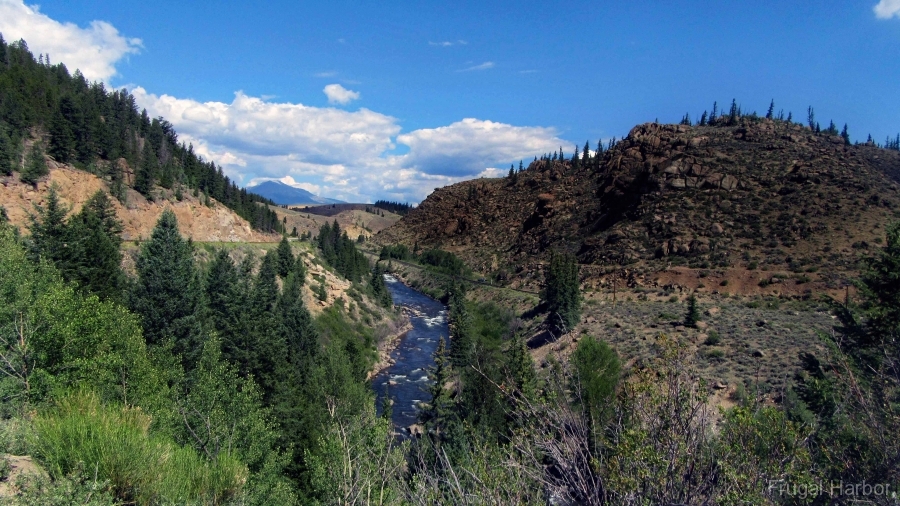
At 10,200 feet, Leadville is the highest incorporated community in the United States. Yet in this setting, surrounded on all sides by 14,000-foot behemoths, the city occupies the lowlands. South of town, Colorado’s two loftiest mountains – Elbert and Massive – stand side by side like Jupiter and Saturn. The colossal peaks of this area yielded fortunes of like proportions in the 19th century, as miners pulled millions of dollars’ worth of mineral from the ground. The luckiest of them, Horace Tabor, became one of the titans of Colorado’s silver industry. This 82-mile route crosses the Continental Divide twice and traces the Arkansas River nearly to its source in the vicinity of Fremont Pass. The small communities of Redcliff, Minturn, and Twin Lakes add charm.
Top of the Rockies was designated by the U.S. Secretary of Transportation as a National Scenic Byway in 1998. It is one of eleven America’s Byways® designated in Colorado.
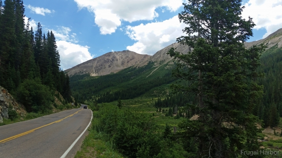
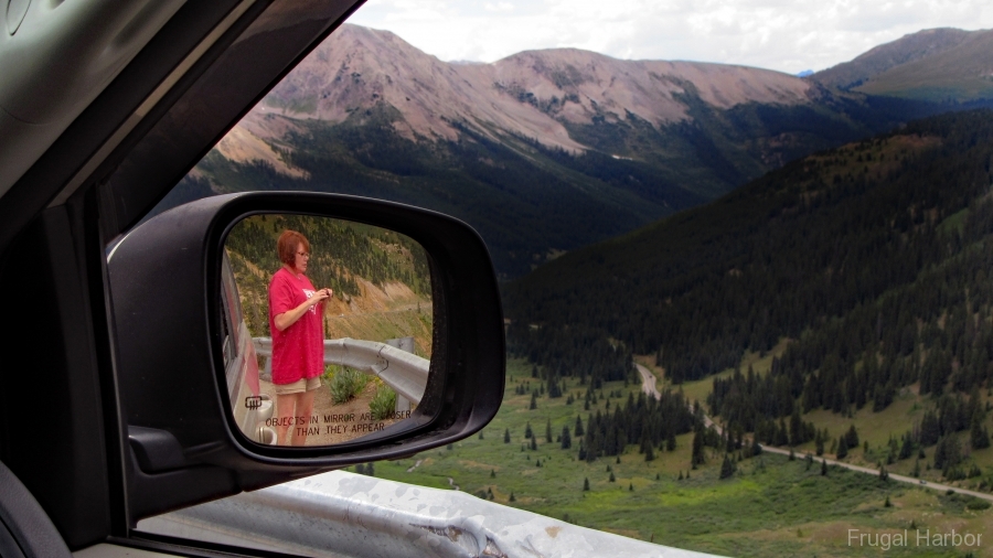
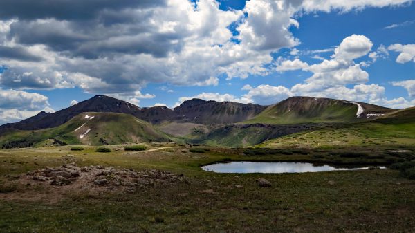
A 40-mile extension to the byway was recently approved from Twin Lakes, over Independence Pass on State Highway 82 and into Aspen. Independence Pass starts at 9,200 feet and climbs to 12,095 feet at the summit, which is ringed with peaks of 13,000 feet including Mt. Champion, Geissler Mountain, Twining Peak, Grizzly Peak and Casco Peak.
Personal Experience: We traveled in dry conditions in mid July 2018 in a mini-van with no issues
Length: 82 miles
Driving time: 2 hours